Geospatial Digital Systems Limited (GDSL) for Modern Surveying
Automate spatial data solutions using international best practices in the Geospatial Services Industry. ...Serving the Geospatial Service Provider.
Trusted by surveying professionals and agencies of Government across Nigeria.
Registered by
Surveyors Council of Nigeria (SURCON)
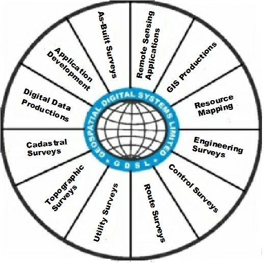
Our Services
Comprehensive geospatial solutions for all your surveying and mapping needs using ICT-based international best practices.
Land Surveying
Comprehensive tools for cadastral, details, perimeter, and topographic surveys with high precision.
Geo-information Processing
Process and analyze geospatial data with advanced algorithms and visualization tools.
GIS Establishment
Set up and manage Geographic Information Systems for land administration and management.
Remote Sensing Applications
Capture and interpret remote sensing data for environmental monitoring, planning and resource mapping.
Digital Data Conversion and Reproductions
Seamless electronic data conversions, reprocessing and reproduction using advance data handling, manipulation, storage and archiving.
Trusted by Leading Organizations
Ready to Transform Your Geospatial Workflow?
Join hundreds of surveying professionals who trust our solutions to streamline their work and improve accuracy.